December 29, 1845
Texas joins the Union
The Republic of Texas is annexed as the 28th state.
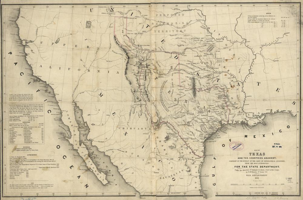
Annexation leads to war with Mexico the following spring. Texas elects two House members, and its western land sits in no district at all.
See the 29th Congress map (1845–1847) →
Sources
On the state pages
- TexasTexas went from 2 seats to 38, and its maps have repeatedly ended up in court.
← Congress requires districtsThe Mexican Cession →