Over 230 years of House maps
Every House district since 1789, on one slider.
Drag the timeline and watch the lines move. Tap any district, year or event to see who held the seat, who drew the map and what the newspapers printed that week.
Open the map Roll the dice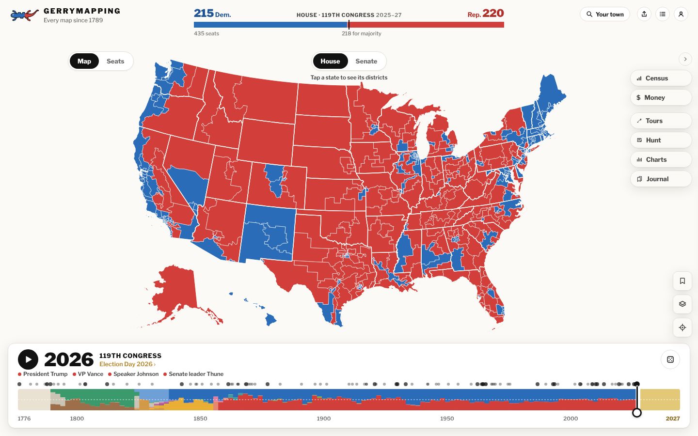
The fastest way in
Not sure where to start? Roll the dice.
The dice on the timeline picks a random Congress since 1789 and drops you into one of its districts, with the member who held it. Now and then it starts a guided tour instead.
Roll the dice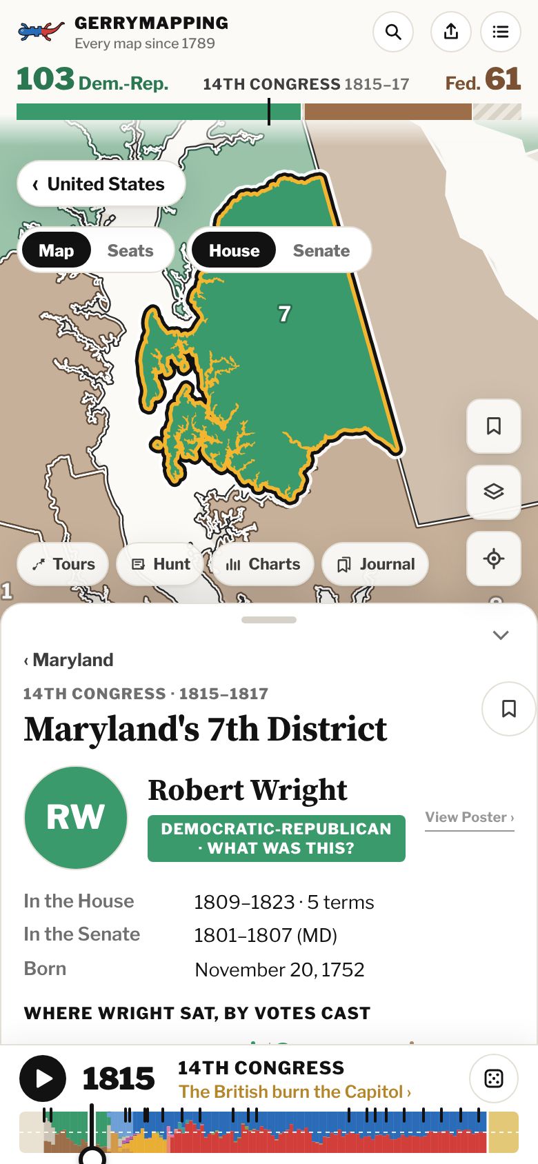
01 · The weird shapes
Districts drawn on purpose.
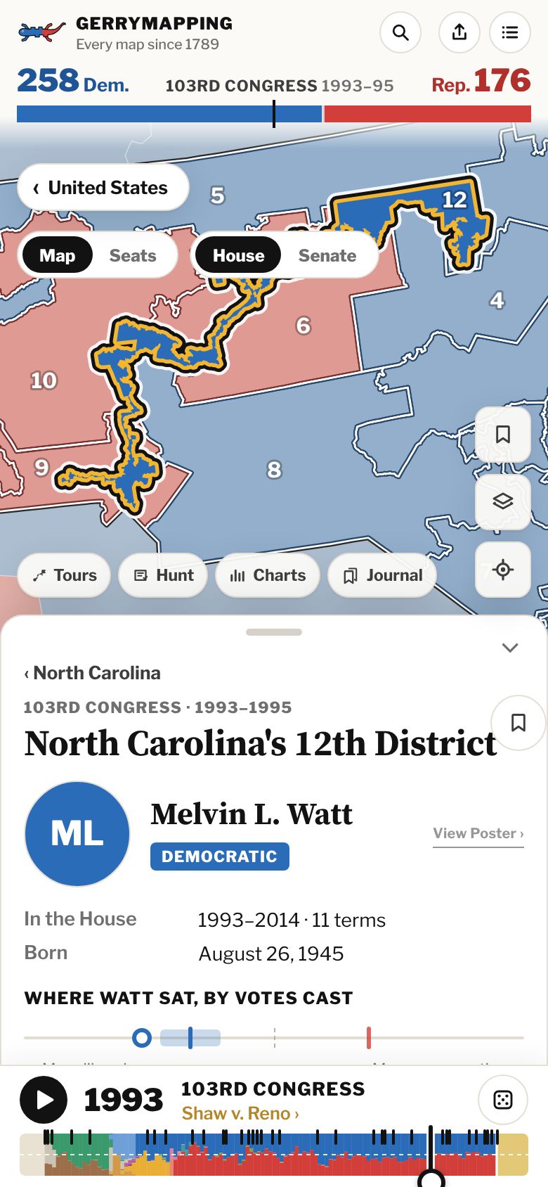
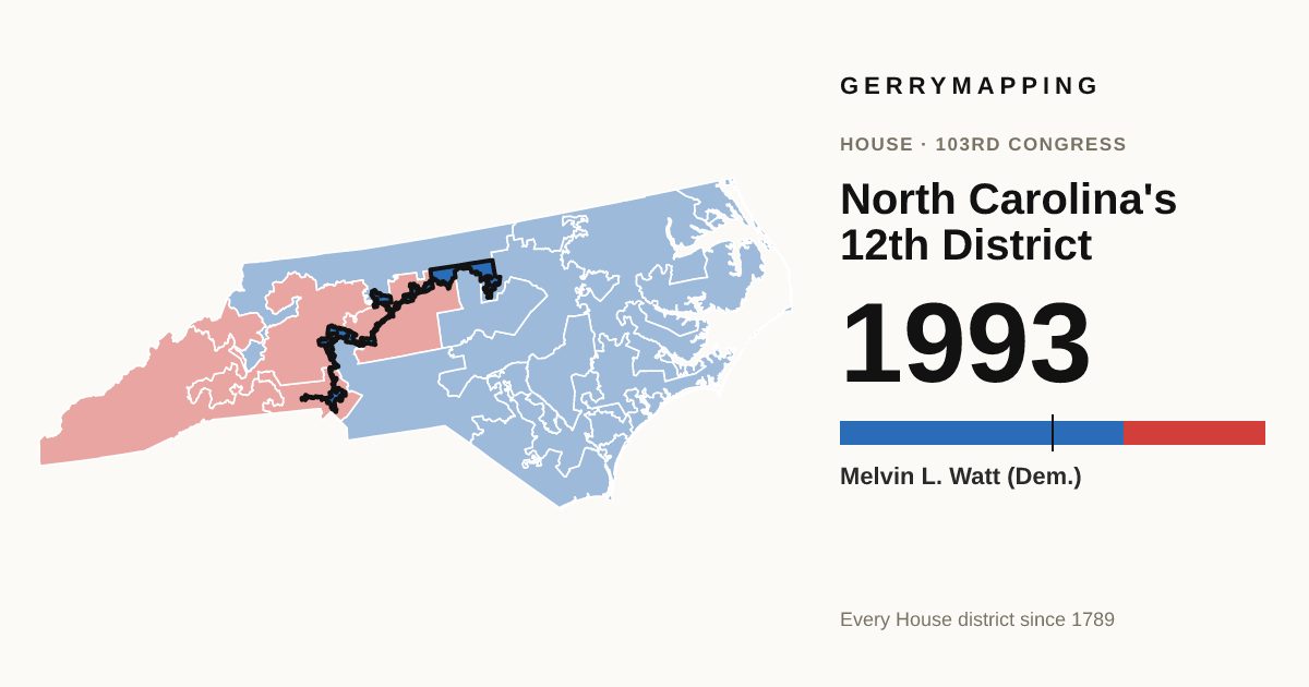
A guided tour of famously twisted districts: South Carolina's 1882 "boa constrictor," North Carolina's I-85 district, Chicago's "earmuffs," Pennsylvania's "Goofy kicking Donald Duck" and the rest, with the people and the money behind each one. The lines came from legislatures controlled by each party, and from a court.
Start with the I-85 district ›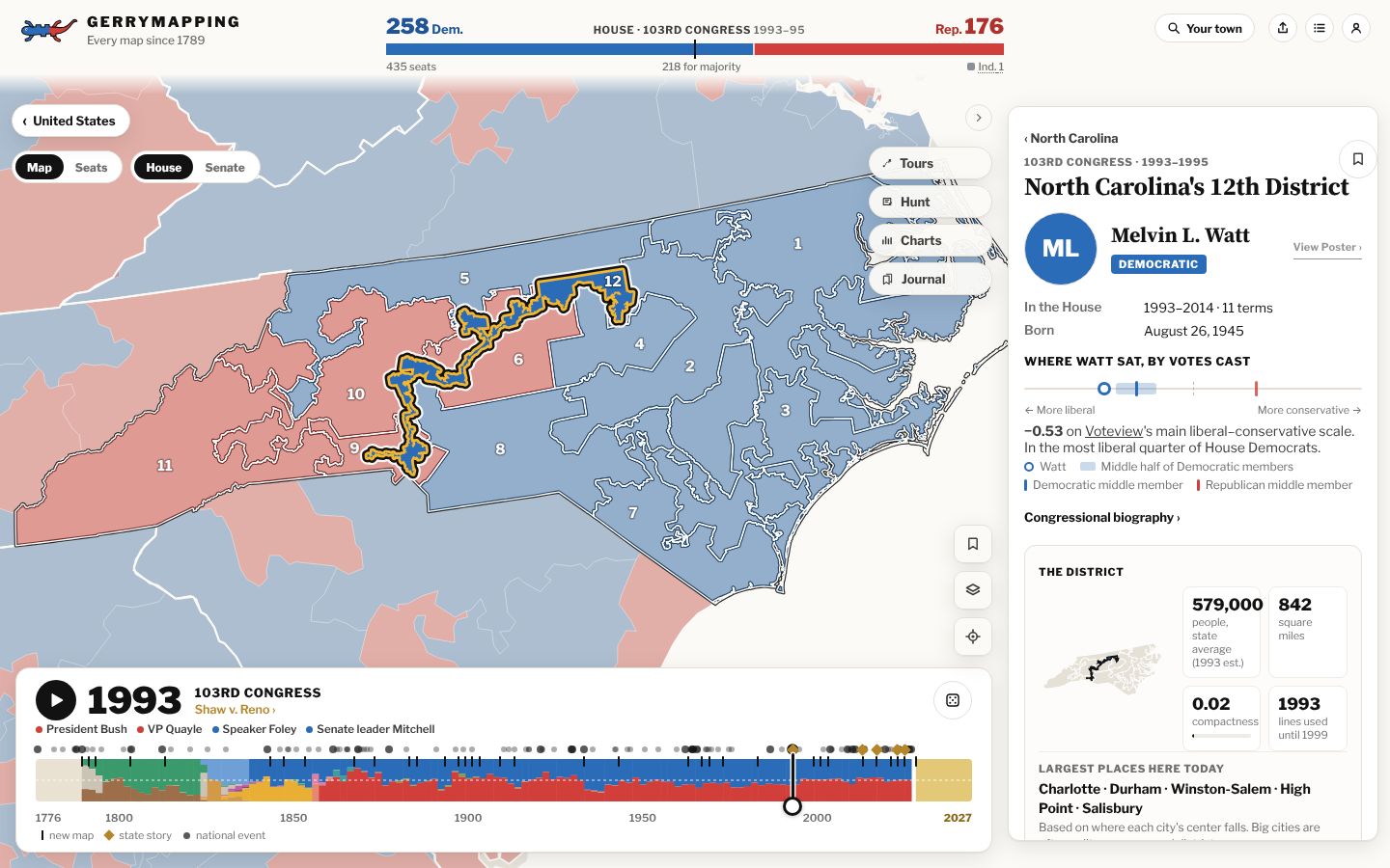
02 · Land doesn't vote
Why a map of land can look lopsided when the House is close.
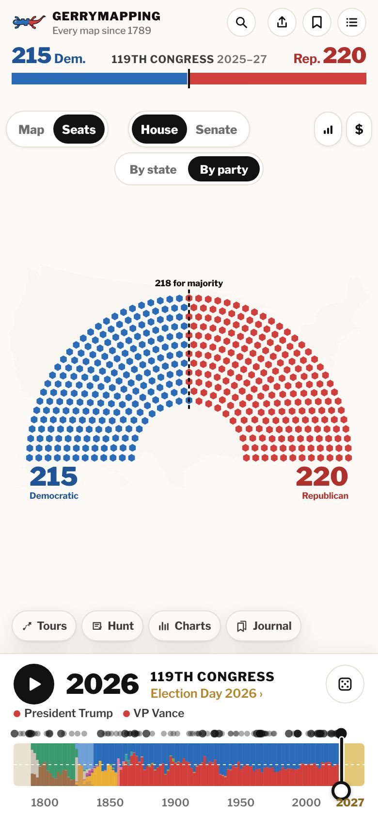
Rural districts are large and city districts are small. Switch to Seats and every district becomes an equal hexagon. Switch to By party and the same seats sort into a House chamber, with the majority line in the middle.
See the House by party ›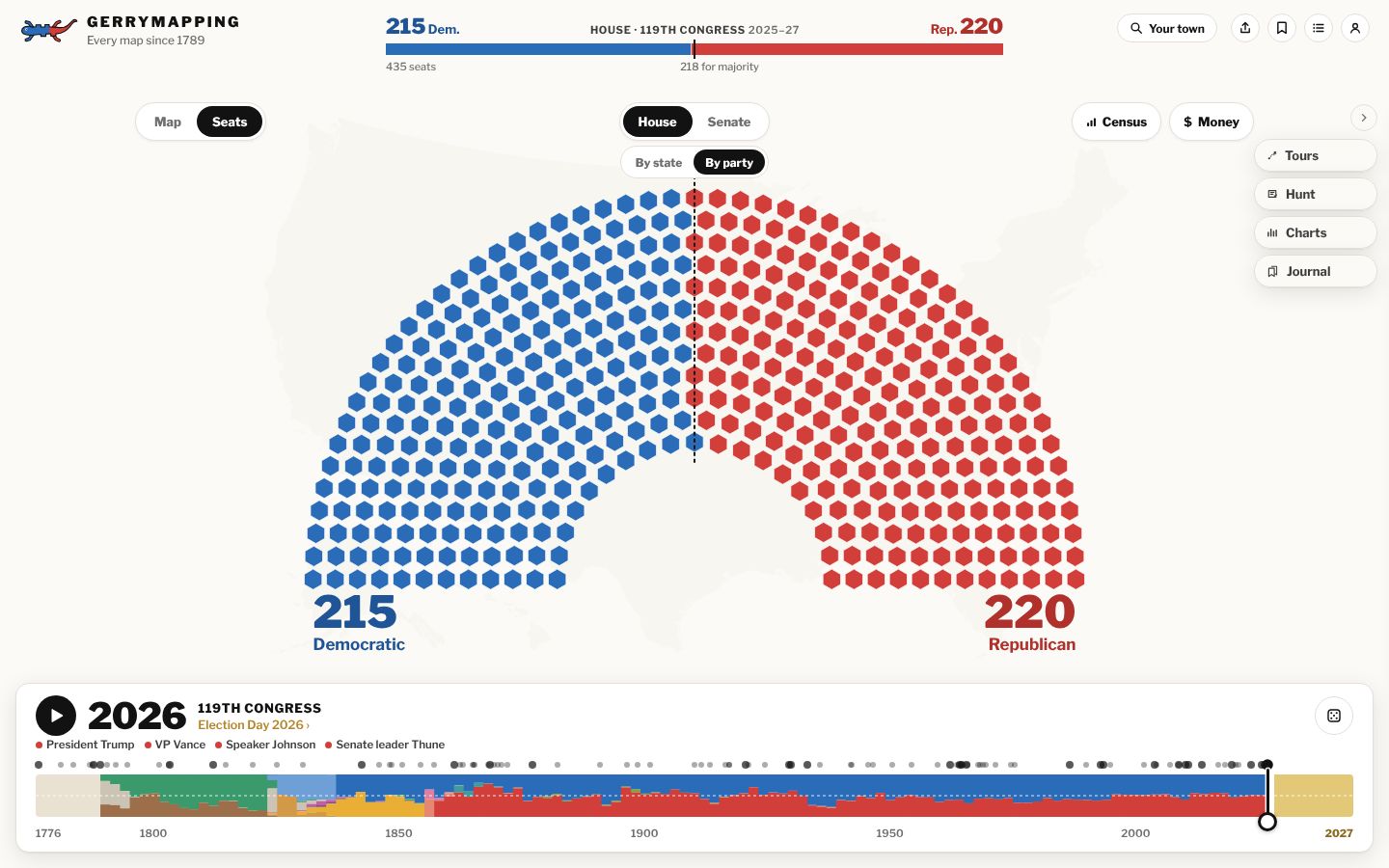
03 · Over 230 years
The country fills in, Congress by Congress.
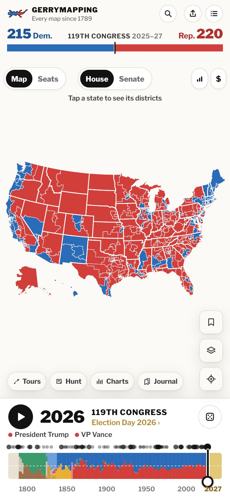
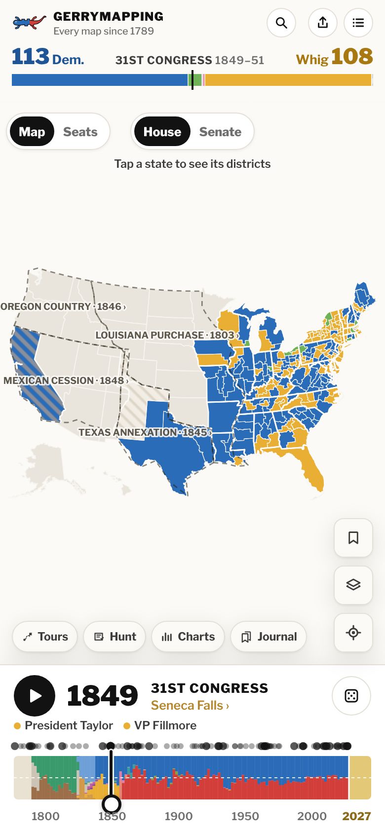
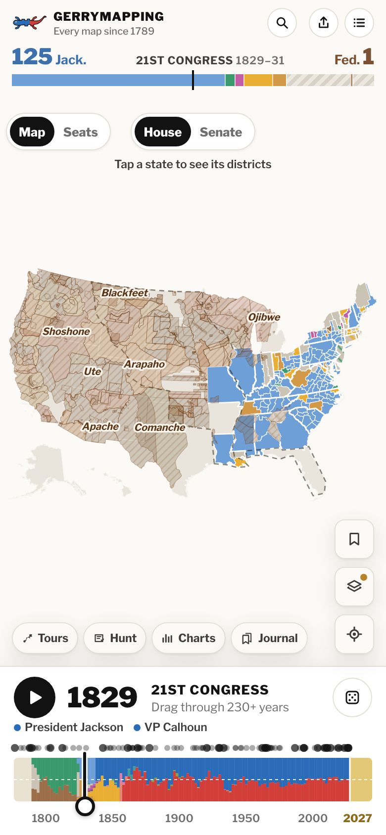
Drag back to 1849 and the House has Whigs, Free Soilers and Democrats, and much of the West is still territory. Press play to watch the states fill in. Dashed outlines show land as it was acquired, and a line under the year names the President, the Speaker and, once the post exists, the Senate leader.
Jump to 1849 ›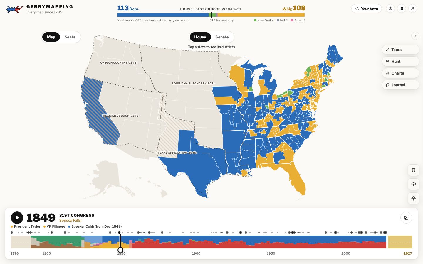
04 · The Senate
Every senator, every seat, since 1789.
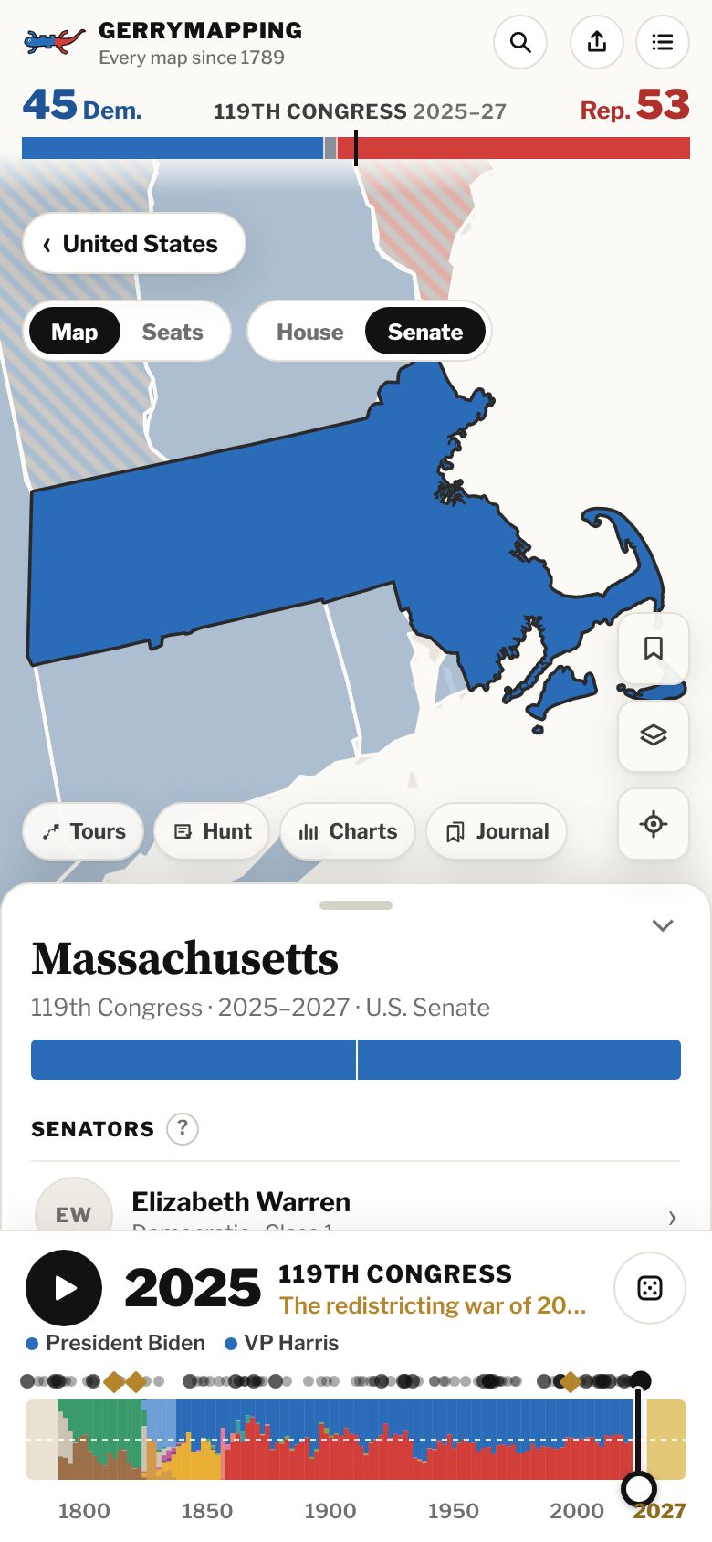
Switch from House to Senate and the map colors each state by its two senators. Open a state to see everyone who has held each of its seats, back to the state's first two senators.
Open Massachusetts ›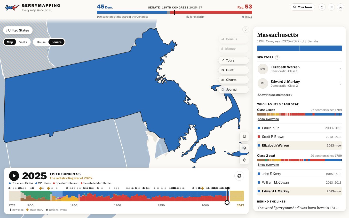
05 · What changed
Every redraw, explained.
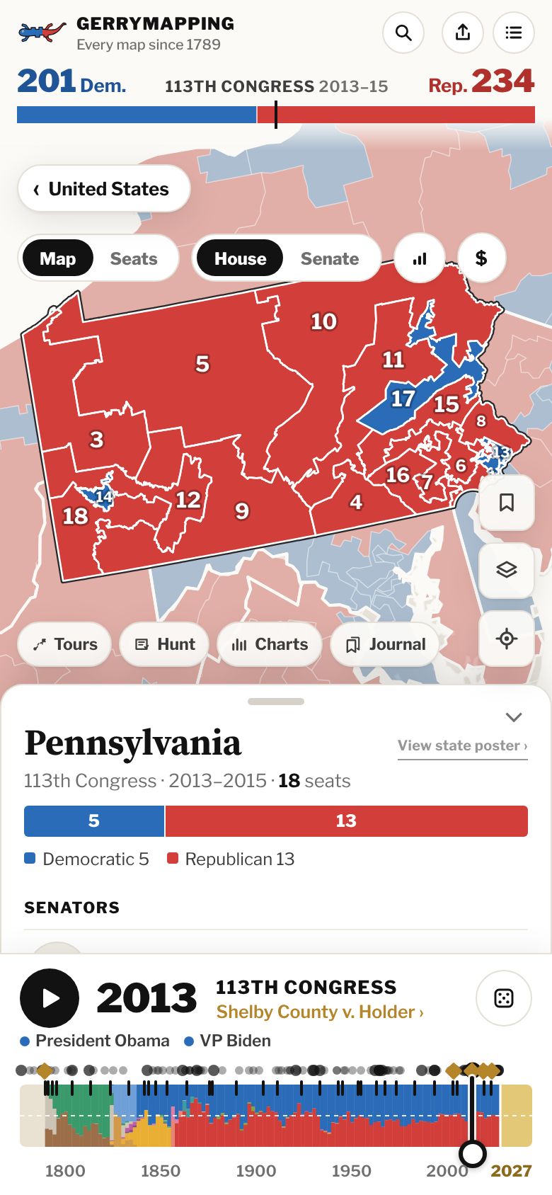
Land on a new map and see what changed: seats gained or lost after the census, how much of the state moved to a new district, and the law that drew the lines. To compare two maps, pin one year and drag to another, and the old lines lie dashed over the new ones.
Try Pennsylvania, 2012 ›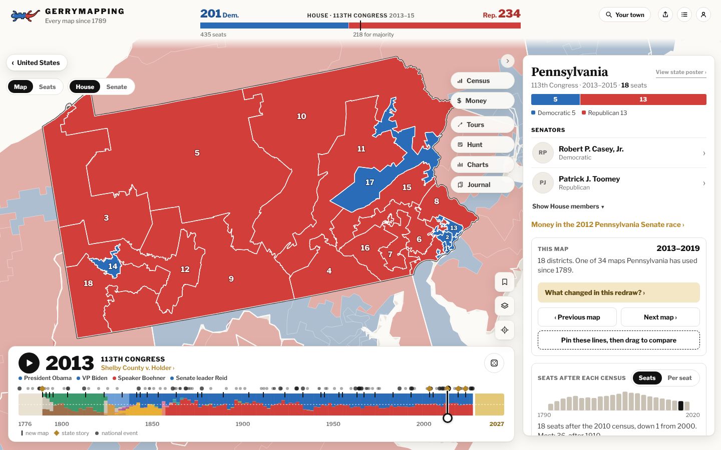
06 · Your town
Everyone who has represented your hometown.
Type a town or neighborhood. Gerrymapping lists every member of the House who has represented it, how many district shapes it has been drawn into, and how many years each party has held it. Then make a wall map of who represented it in any year.
Search your town ›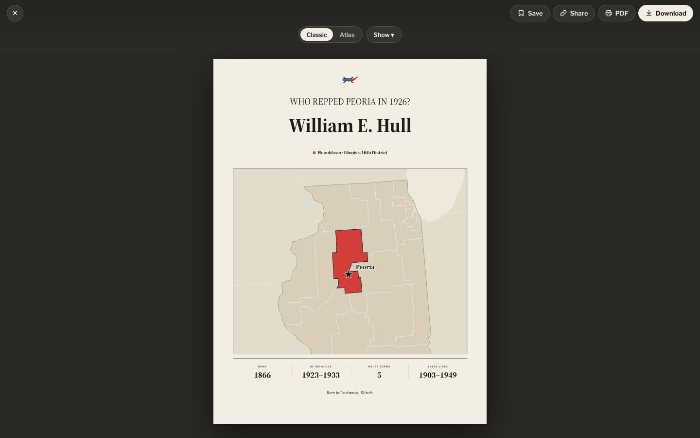
07 · Tribal lands
The land before and after each treaty.
Turn on Tribal lands in Layers. Up to 1893 the map shows the land no treaty had yet ceded, from Charles Royce's 1899 schedule of cessions. From the 53rd Congress on it shows today's reservations and trust land. Open a nation's card, such as the Cherokee, to see how many cessions the schedule lists for it.
Open the Cherokee card ›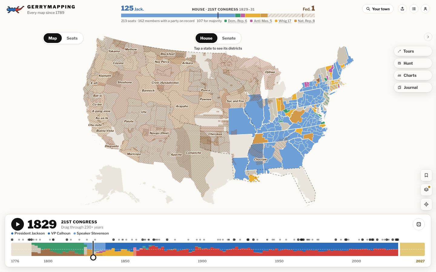
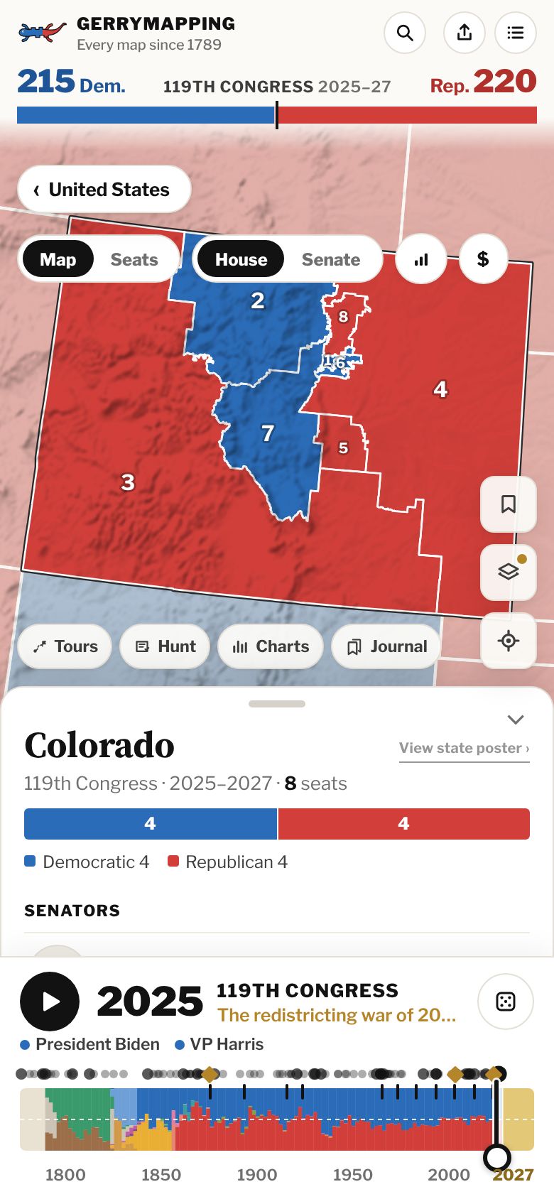
08 · Terrain
The ground under the lines.
Turn on Terrain in Layers and the map is shaded with elevation data from the U.S. Geological Survey and NASA, so you can read a district's shape against the ground it covers.
Open Colorado ›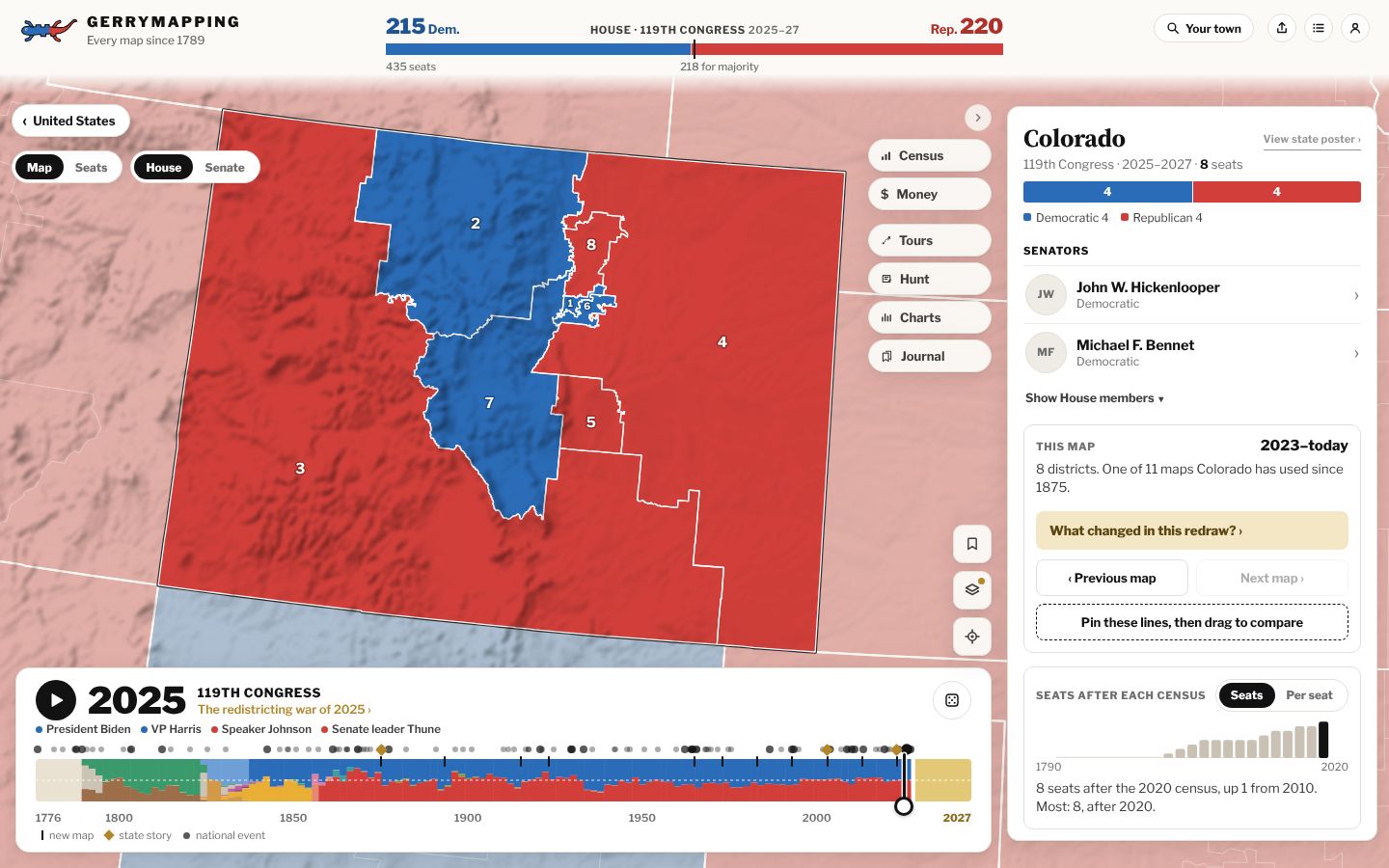
09 · Charts
The same data, drawn other ways.
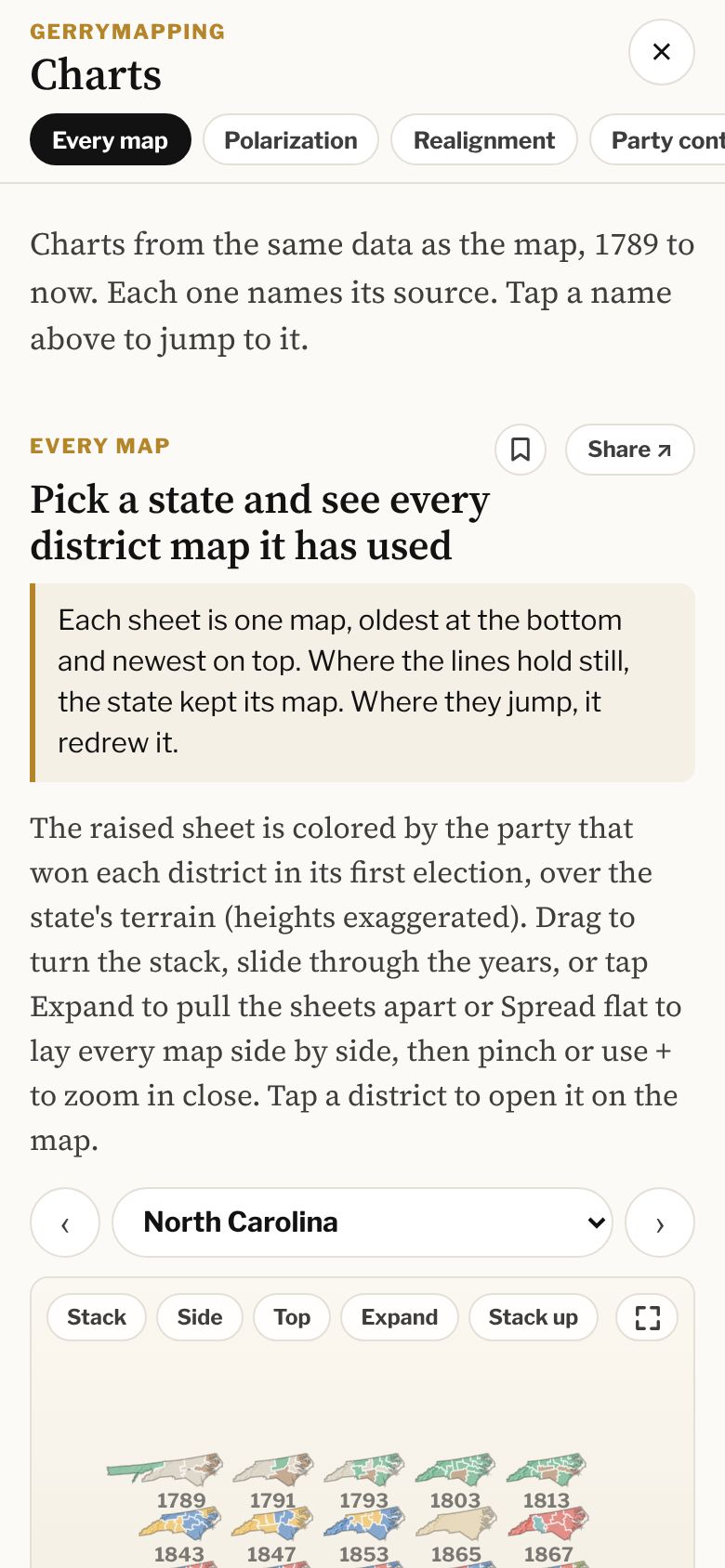
Charts are built from the same data as the map, and each one names its source. Most run from 1789 to now. Every map stacks all of a state's district maps, oldest at the bottom: North Carolina has had 37. Others cover party control, seats, the Senate, how members voted, campaign money and where members were born.
Open the Charts ›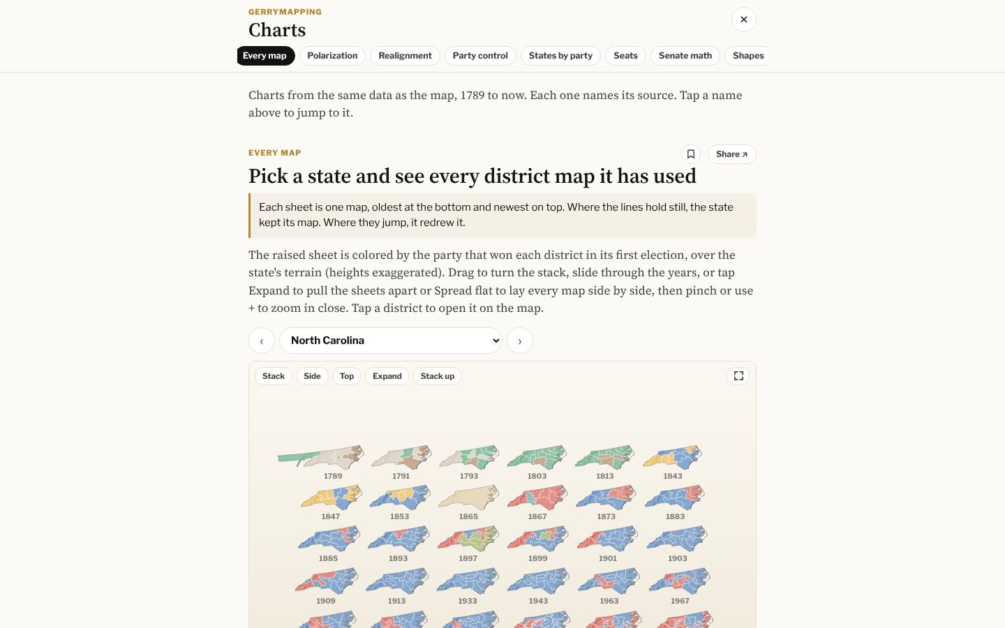
10 · Save, hunt, make
Keep what you find, then play with it.
Coming soon
Discover
A feed of short posts you can play. Each one is a small find that opens the map at that exact place.
11 · Share what you find
Every link shows the map you were looking at.
Tap Share on any view and the link carries the year, the state and the district. In Messages, Slack or anywhere else it unfurls as a picture of that map with its title, so the person you send it to sees what you saw before they tap.
Where it comes from
Pick a year. Pick a state. Drag.
Gerrymapping describes what each party did and leaves the verdict to you. Every map, number and picture links to its source.
Open Gerrymapping