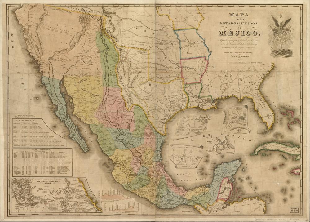
John Disturnell’s 1847 map of Mexico and the United States, in Spanish, with tables of distances and the routes from Mexico City to Veracruz and Acapulco.Map by John Disturnell · 1847 · Library of Congress, Geography and Map Division · Original
The treaty ending the Mexican-American War transfers California and most of today's Southwest. California becomes a state in 1850.