May 28, 1830
The Indian Removal Act
The hatched land in Georgia, Alabama and Indiana was held by Native nations.
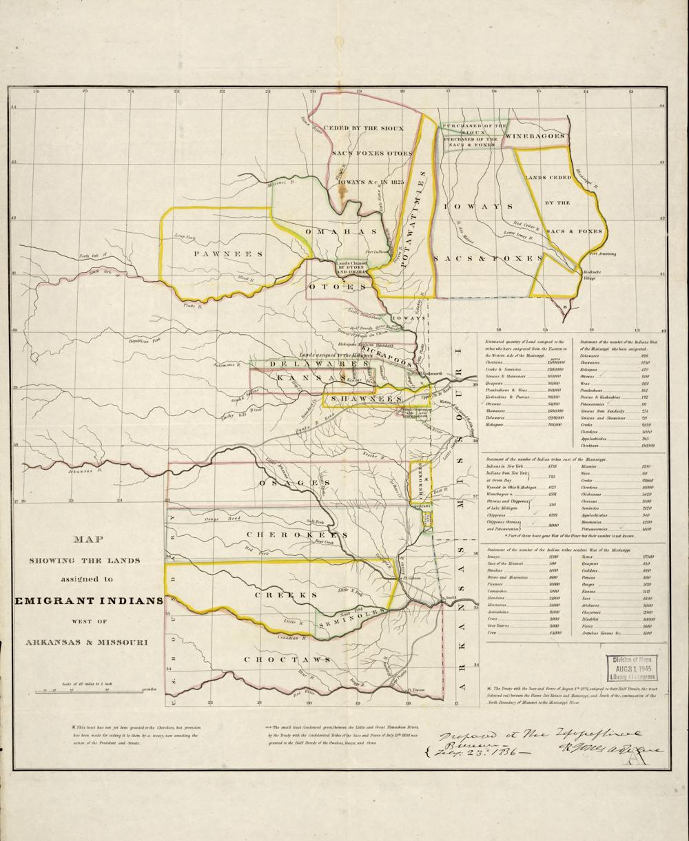
President Andrew Jackson signs a law that lets the federal government exchange land west of the Mississippi for the lands of Native nations in the East and move them there. Many of the removals are forced, and thousands die, including the Cherokee "Trail of Tears" in 1838 and 1839.
In the early maps of Georgia, Alabama, Tennessee and Indiana, hatched areas are land that was in no congressional district at all, largely because it was still held by Native nations. As the land passed out of Native hands, through treaties (some disputed) and state action, it was organized into counties and added to districts.
See the 21st Congress map (1829–1831) →
Sources
On the state pages
- GeorgiaGeorgia elected its whole delegation statewide for most of its first fifty years, gave the Supreme Court the case, Gray v.
- TennesseeTennessee's map has been redrawn more than thirty times, but one thing has barely moved: the Republican mountain districts of East Tennessee.
- AlabamaAlabama's maps have been at the center of the fight over the Voting Rights Act since its passage, from the Selma march to two Supreme Court cases in three…
- MississippiMississippi drew the "shoestring" district to contain Black voters after Reconstruction, split the Delta to keep them out of power after the Voting Rights Act…
On a tour
- Native land, treaty by treatyThe land Native nations still held, how it was taken, and the removals of the 1830s.
← The House picks the President againCongress requires districts →