July 13, 1787
Northwest Ordinance
A blueprint for turning territories into equal states.
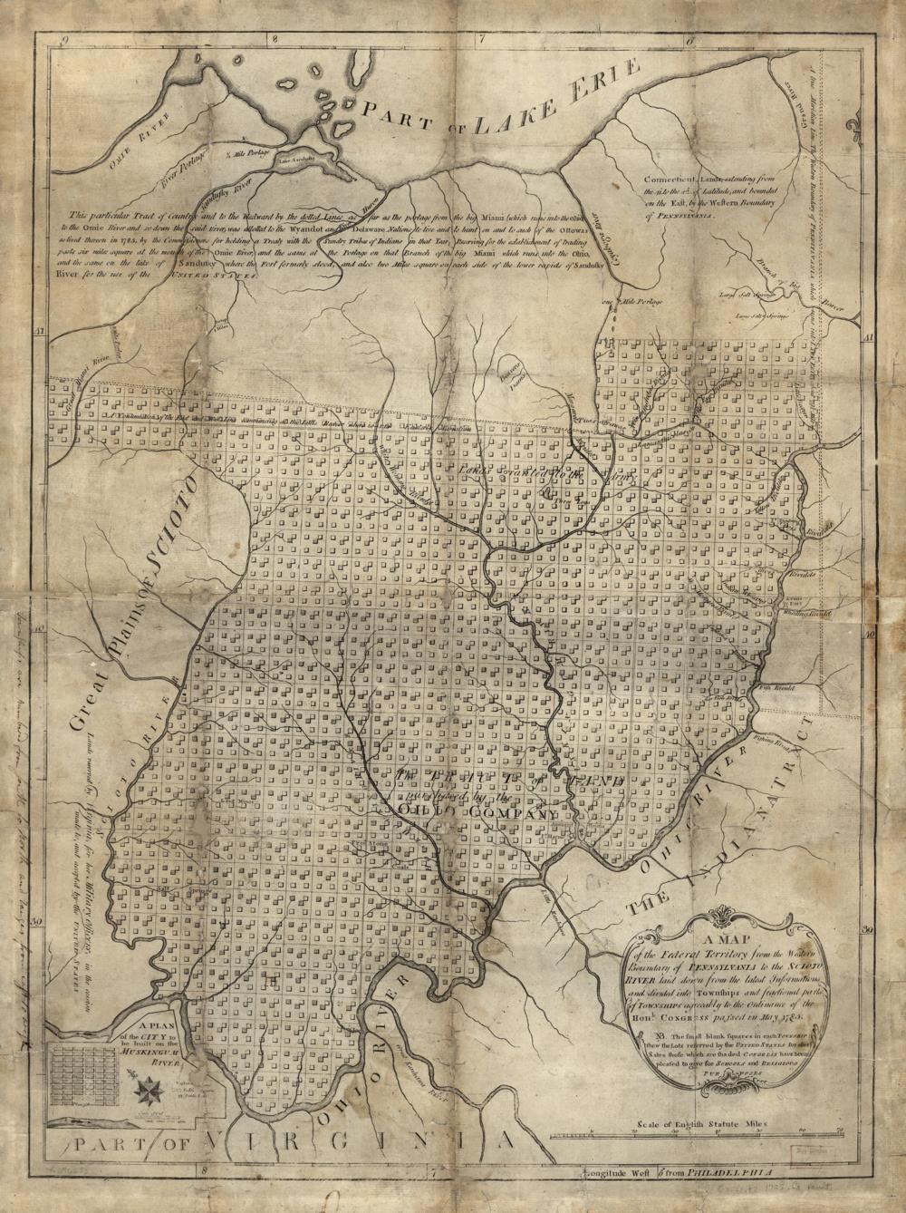
Congress creates the Northwest Territory and a process for admitting new states on equal footing with the original thirteen. It bans slavery in the territory. Ohio, Indiana, Illinois, Michigan and Wisconsin, and part of Minnesota, are carved from it.
See the 1st Congress map (1789–1791) →
Sources
← Shays' RebellionThe Constitution is signed →