March 15, 1820
The Missouri Compromise
Maine splits from Massachusetts in 1820; Missouri follows in 1821 as a slave state.
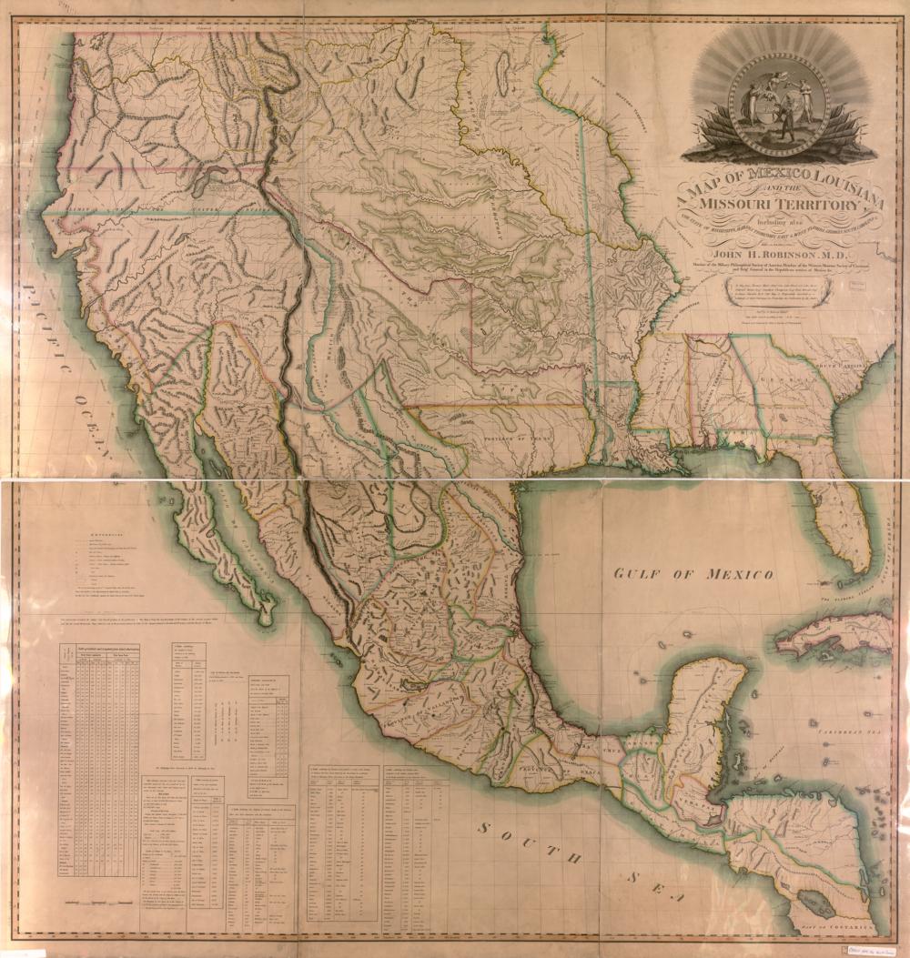
To keep the Senate balanced between free and slave states, Congress pairs them: Maine (until then part of Massachusetts) is admitted on March 15, 1820, and Missouri follows as a slave state on August 10, 1821. Maine's seven districts appear on the map as a separate state in the 17th Congress, in 1821.
See the 16th Congress map (1819–1821) →
Sources
On the state pages
- MaineMaine split from Massachusetts in 1820, once elected its whole delegation statewide when the legislature missed a deadline, and was the first state to use…
- MissouriMissouri has elected its whole delegation statewide when its governor and legislature couldn't agree, and in 2025 tried to split Kansas City before voters…
← The British burn the CapitolThe House picks the President again →