March 31, 1877
Reconstruction ends
Federal troops leave the South. Maps are redrawn to contain Black voters.
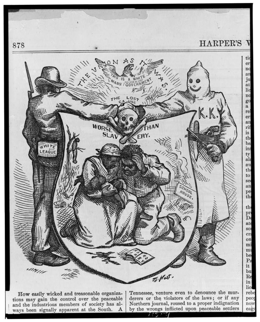
With federal troops withdrawn, Democratic "Redeemer" governments take power across the South and use violence, fraud and redistricting to dismantle Black political power.
Behind the lines
Packing was the map tool. Mississippi drew a long, thin "shoestring" district along the Mississippi River. South Carolina's 1882 map created a sprawling 7th District that the South Carolina Encyclopedia says aimed to concentrate Black voters in one seat; Robert Smalls, a formerly enslaved Civil War hero, won it in 1884.
Within two decades, poll taxes and literacy tests did what the maps had started (see 1890).
See the 45th Congress map (1877–1879) →
Sources
On the state pages
- MississippiMississippi drew the "shoestring" district to contain Black voters after Reconstruction, split the Delta to keep them out of power after the Voting Rights Act…
- South CarolinaSouth Carolina drew one of the first maps designed to contain Black voters, in 1882, and its maps have been fought over on racial grounds ever since.
← Districts must be equal in populationThe Chinese Exclusion Act →