September 3, 1783
Treaty of Paris
Britain recognizes independence. The new nation reaches the Mississippi.
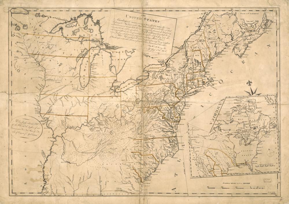
The treaty ending the Revolutionary War sets the western border at the Mississippi River. The pale land on the map is everything outside the original thirteen states that had become part of a state by 1959, much of it acquired after this treaty.
See the 1st Congress map (1789–1791) →
Sources
← Articles of Confederation take effectShays' Rebellion →