April 30, 1803
Louisiana Purchase
The United States doubles in size.
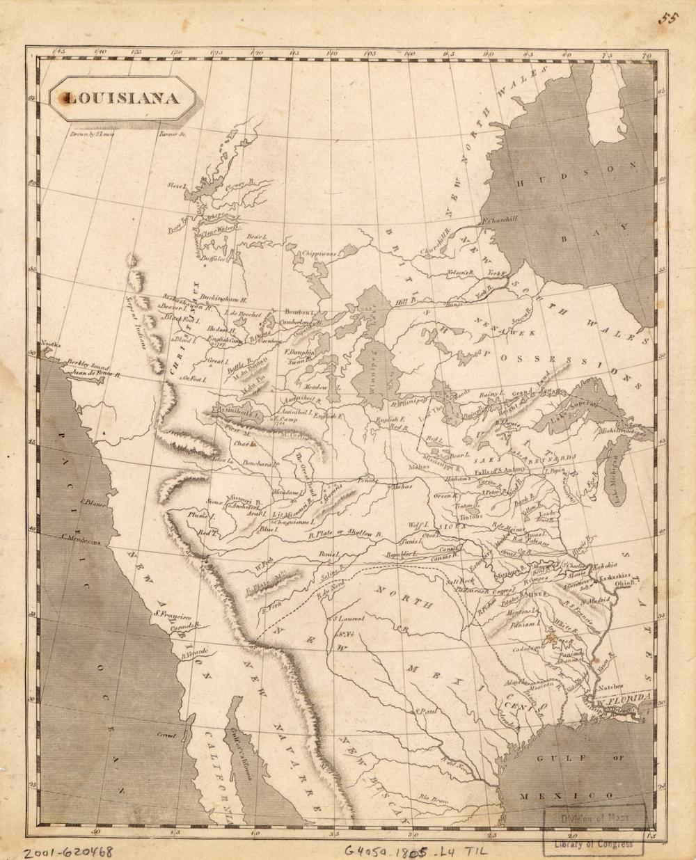
The purchase from France adds about 828,000 square miles, nearly all of it west of the Mississippi River, plus New Orleans on the east bank. Louisiana becomes a state in 1812, and its single at-large seat appears on the map that year.
See the 8th Congress map (1803–1805) →
Sources
← Marbury v. MadisonA salamander gets a name →