July 4, 1776
Independence declared
Thirteen colonies declare independence. There is no House of Representatives yet.
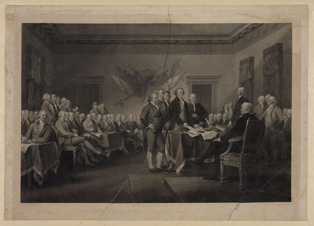
The Second Continental Congress adopts the Declaration of Independence. Congress is a single body of state delegations, so there are no congressional districts to draw.
The map shows the thirteen original states with the boundaries they claimed. Several stretched far west: Virginia included what became Kentucky, and North Carolina what became Tennessee.
See the 1st Congress map (1789–1791) →
Sources
Articles of Confederation take effect →